Earth
Sky
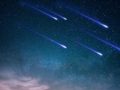
In the first dates of May we will be able to watch the Eta Aquariids Starfall. The peak of its activity will be on May 6-7, but overall the shower is visible from about April 19 to about May 28 each year. It will be seen brighter in the Southern Hemisphere, although the residents of the Northern half of the Earth will also be able to watch the starfall.
Read more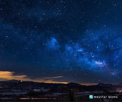
Sky
Get ready for a meteor spectacle! The first spring star rain is on its way, and you won’t want to miss it. On April 21 to 22, we will have a chance to observe the largest meteor shower in the Northern Hemisphere — the Lyrid shower, whose maximum will fall on this night.
Read more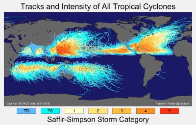
Sky
Tropical cyclones and hurricanes are powerful weather systems that can cause significant damage and destruction. These storms typically form in the tropics and move towards higher latitudes, affecting areas such as Gulf of Mexico, and the southeastern United States. However, one peculiar fact about these storms is that no tropical cyclone or hurricane has ever crossed the equator.
Read more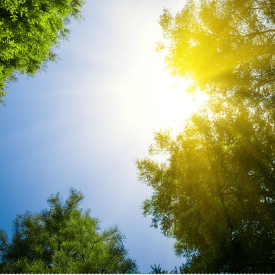
Sky
These weather parameters are usually related to sunny weather conditions: High pressure - Sunny weather typically occurs when high pressure dominates the atmosphere. High pressure brings sinking air which suppresses cloud formation. Low humidity - With high pressure and sinking air comes lower humidity. Clear skies allow more sunlight to reach the surface, heating and drying the air.
Read more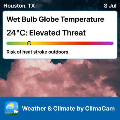
The wet-bulb temperature is an important measure of the Earth’s climate and is used to determine the risk of heat stress and heat-related illness in humans and animals. The wet-bulb temperature is the temperature that a thermometer would show if it were covered in a wet cloth and exposed to the air.
Read more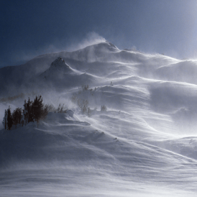
Sky
Katabatic winds are like chilly mountain slides for air! When the air at the top of mountains or high places gets cold, it becomes heavy. Like a slide in a playground, these high places let the cold, heavy air slide down to the ground. As it slides down, it can go really fast and bring cold weather along with it, like a natural chilly breeze.
Read more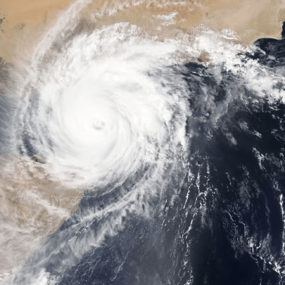
Sky
Did you know how hurricanes and typhoons get their names? Previously, no system existed; the names of the hurricanes depended on the date (for example, Hurricane Santa Anna, which happened on St. Anne’s Day) or its form (as happened with Hurricane “Pin”). There were even anecdotic cases: for example, one meteorologist from Australia used to give the hurricanes the names of politicians who voted against the budget for meteorological research.
Read more
There is a wind that travels all the way from North Africa to southern Europe, bringing warmth and moisture along its journey and it is called the Sirocco. The Sirocco likes to visit Southern Italy and the Balkans during the spring and autumn seasons. It happens because of the interaction between high-pressure systems over the Atlantic and low-pressure systems over the Mediterranean.
Read more
Sky
Fog is not just a simple weather phenomenon, it’s a scientific masterpiece. From the scientific point of view, fog is the accumulation of water in the air and the further formation of little condensation products of water vapor. Moreover, the lower the temperature, the more ice crystals are there in the fog instead of water drops.
Read more