Bise Wind: Cold Northeasterly over Switzerland and the Jura
In western Switzerland and parts of eastern France, many people are familiar with a chilly, persistent wind called the Bise. This cold, dry northeasterly often blows along the north side of the Alps and the Jura, making lakeside cities feel much colder than the thermometer suggests.
Where Does the Bise Blow?
The Bise primarily affects:
- The region around Lake Geneva (Genève, Lausanne, Montreux)
- Areas along Lake Neuchâtel and Lake Biel
- Some neighbouring valleys on the French side of the Jura
These areas lie in a corridor where the airflow is channelled between the Alps to the south and the Jura to the north.
When Is the Bise Most Common?
The Bise can occur in different seasons, but it is especially noticeable:
- In autumn, winter and early spring, when cold air masses are more frequent
- During periods of high pressure north or northeast of the Alps
It can last from a day or two to a week or more, depending on the pressure pattern.
How Does the Bise Form?
Typical conditions for the Bise include:
- High pressure over central or northern Europe
- Lower pressure to the southwest of the Alps
- Air flowing from northeast to southwest, squeezed between the Jura and the Alpine chain
This channeling effect strengthens the wind, producing a cold, dry northeasterly that can feel quite biting along the lakes.
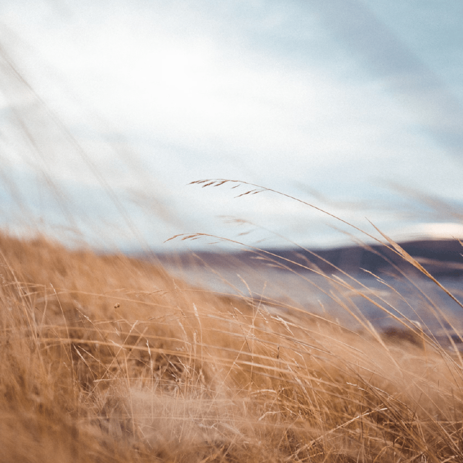
What Are the Effects of the Bise?
When the Bise is blowing, people commonly notice:
- Lower apparent temperatures due to wind chill
- Very clear air, with distant mountains sharply visible
- Choppy lake conditions, with waves and spray along exposed shores
In winter, strong Bise episodes can contribute to lake‑effect snow on some shores and even icing on harbour structures and lakeside paths.
For meteorologists, the Bise is a classic example of a channelled pressure‑driven wind shaped by regional topography around the Alps and Jura.
For meteorologists, the Bise is a classic example of a channelled pressure‑driven wind shaped by regional topography around the Alps and Jura.
This post is also available in: Spanish, Russian, Ukranian, Belarusian, Portuguese, French, German, Italian, Turkish.